Auckland Historic Wall Map 1959
Vintage New Zealand Cartography | Heritage Reproduction | Premium Finishes
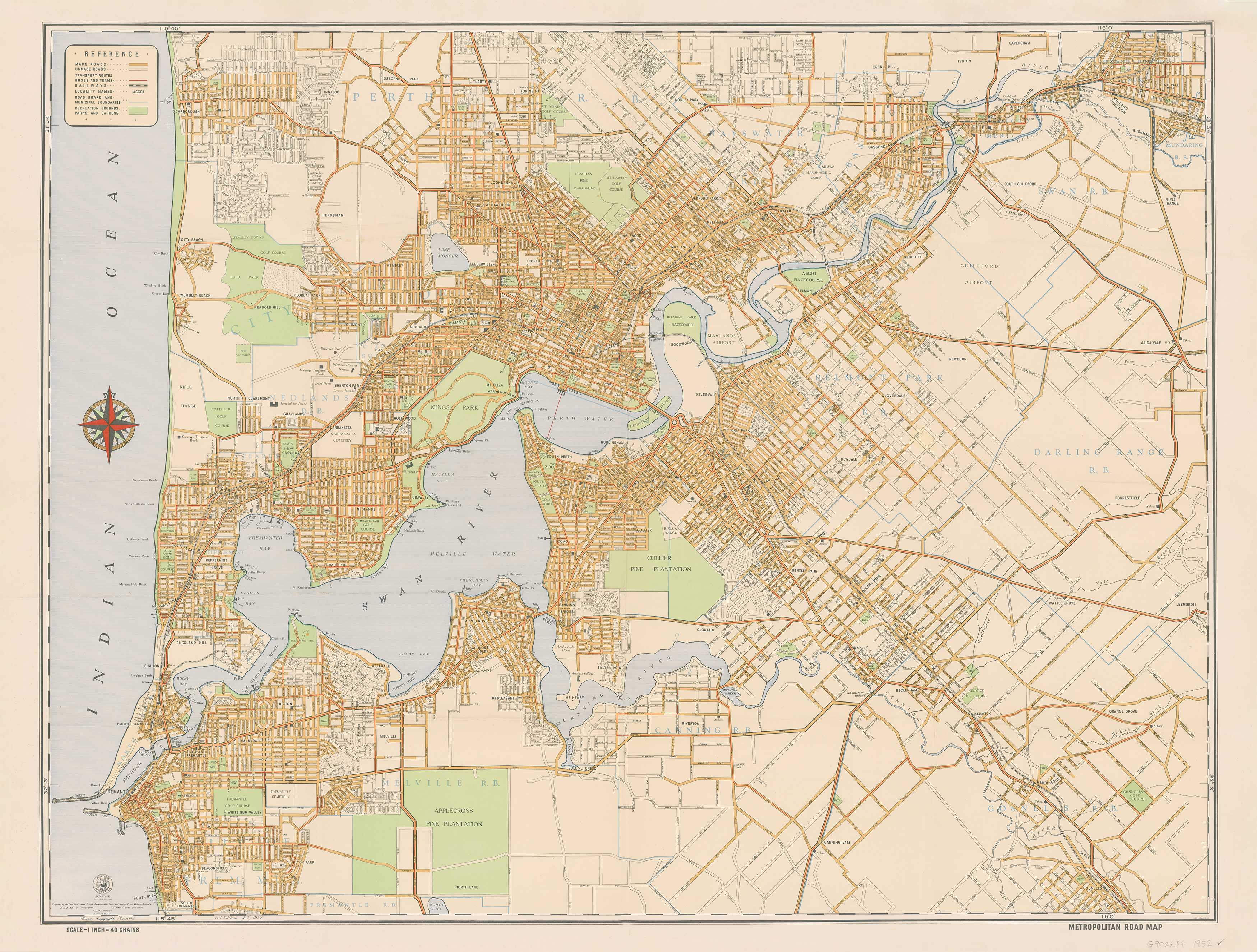
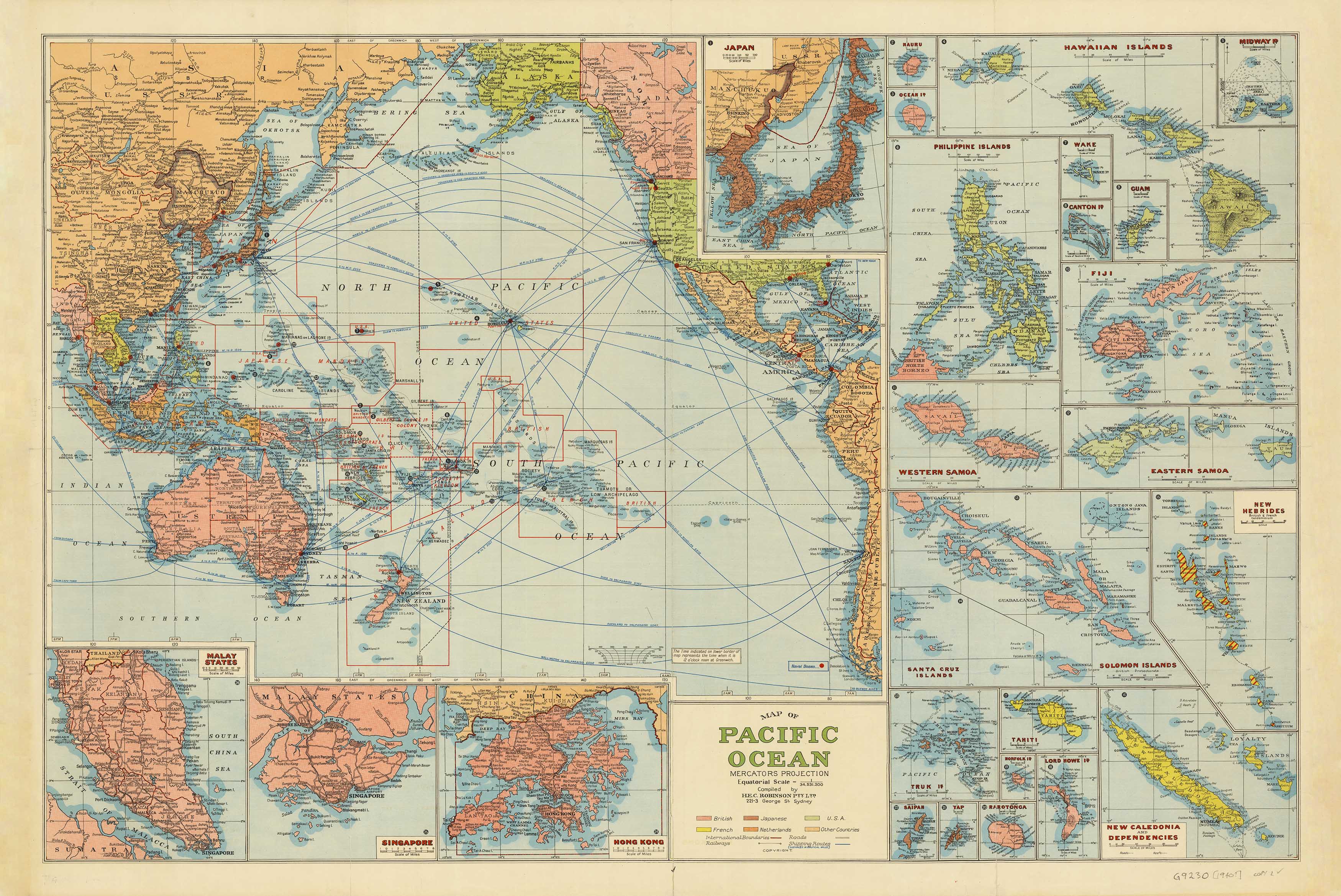
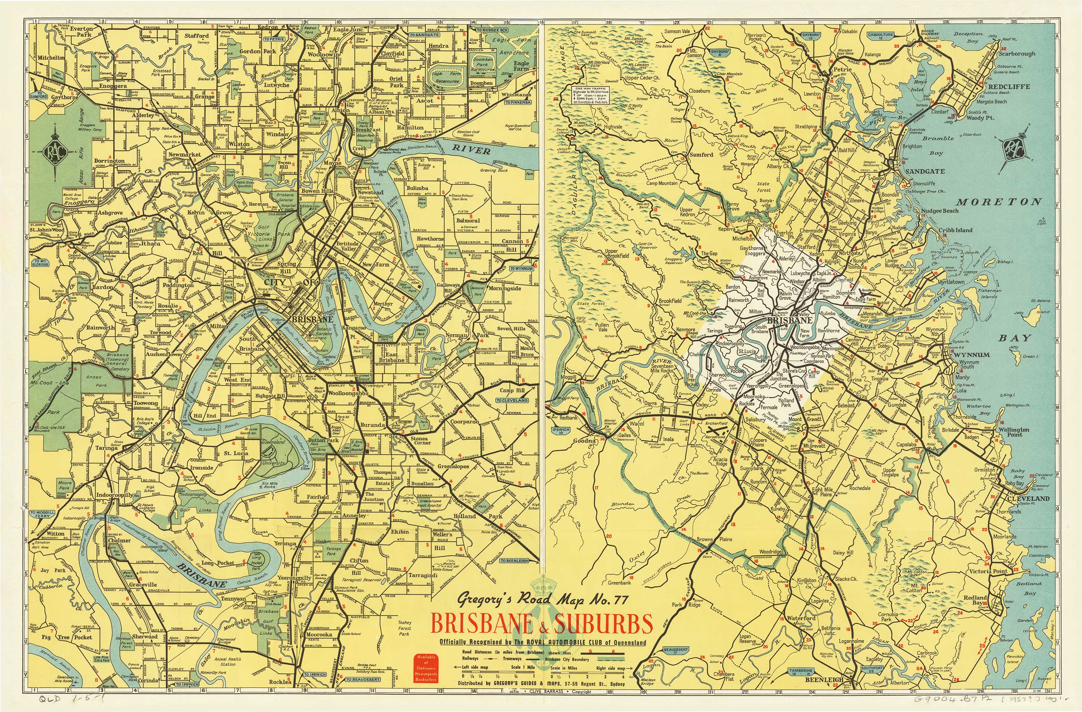
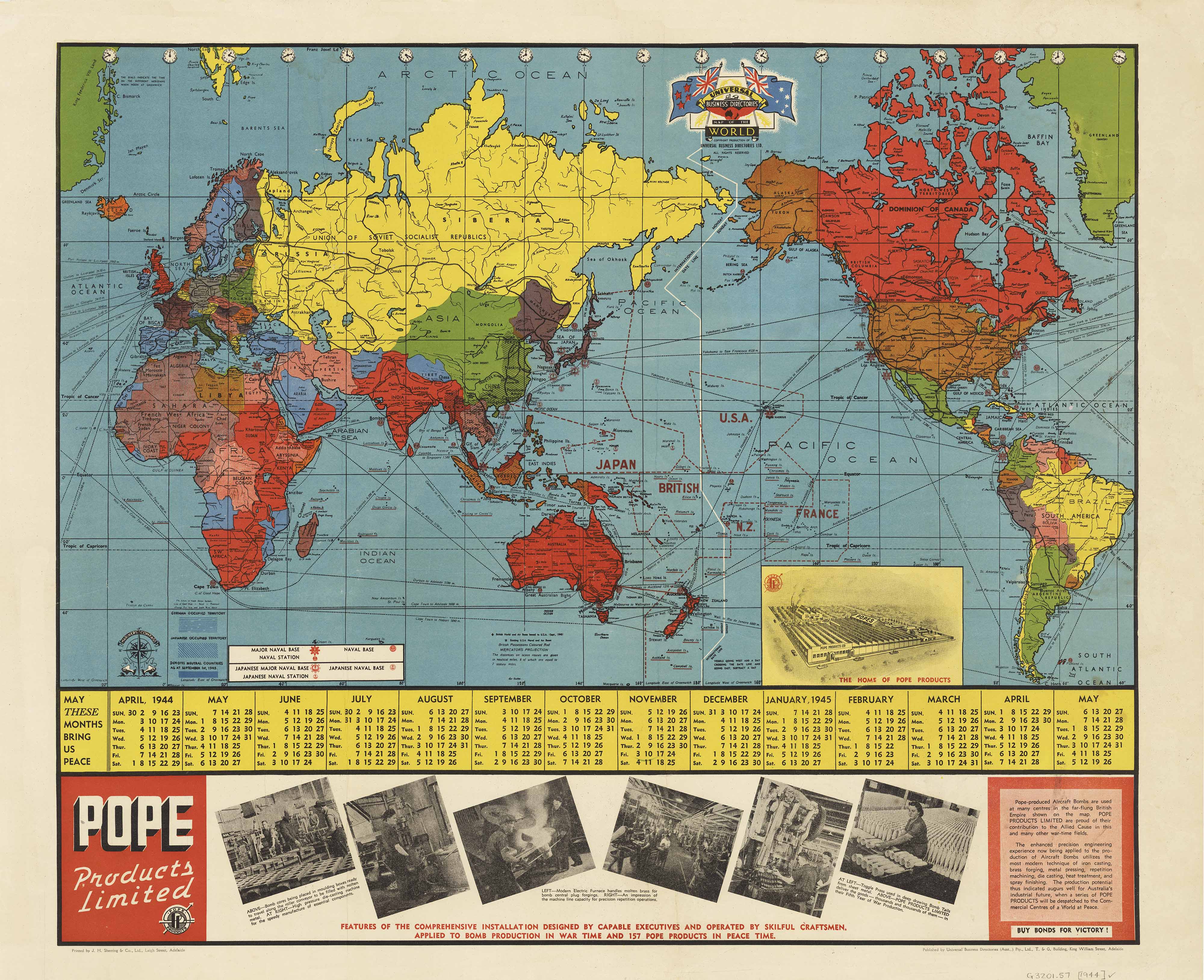
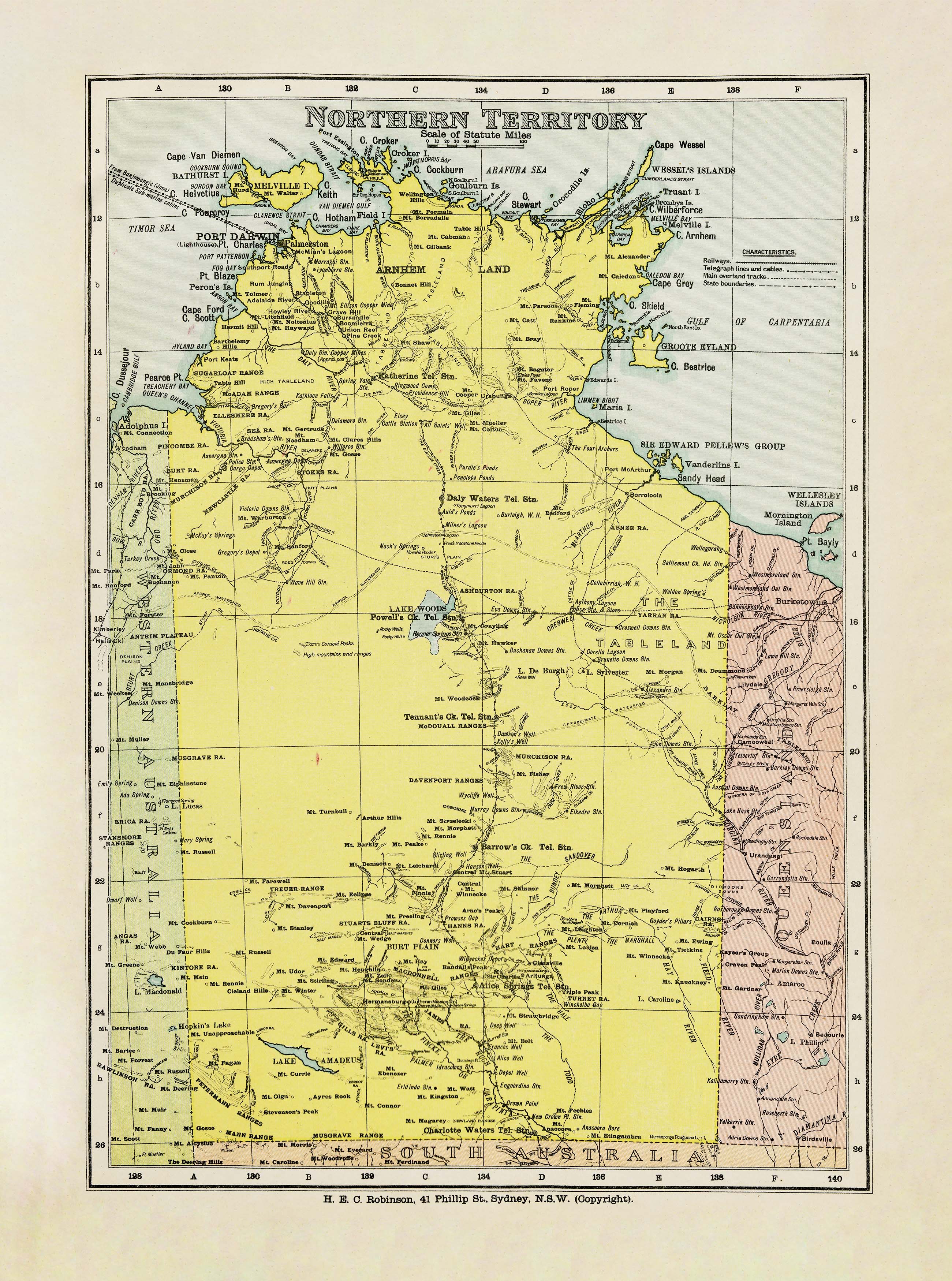
Step back into mid-20th century Auckland with this faithfully reproduced 1959 Department of Lands and Survey map — a remarkable snapshot of the city and its surroundings at a pivotal time in its growth. Rich in cartographic detail, this map captures the geography, infrastructure, and urban layout of Auckland as it was over 60 years ago, making it both a historical document and a striking piece of wall art.
📜 Historical Highlights
-
Authentic 1959 Cartography – Shows the city’s road network, suburbs, harbours, and surrounding landscape as recorded by the New Zealand Department of Lands and Survey.
-
Mid-Century Style – Original typography, colour palette, and design aesthetics preserved in high-quality reproduction.
-
Cultural Significance – Offers a fascinating insight into Auckland’s development before the rapid expansion of the late 20th century.
📐 Specifications
| Feature | Detail |
|---|---|
| Title | Auckland Historic Wall Map – 1959 |
| Original Publisher | New Zealand Department of Lands and Survey |
| Year Published | 1959 |
| Reproduction Size | 960 mm (W) x 780 mm (H) |
| Materials | 160 gsm matte-coated paper / 80-micron gloss laminate / 395 gsm HP Professional Matte Canvas |
| Origin | Printed and finished in Australia |
✨ Available Finishes
| Format | Description |
|---|---|
| 🖨️ Paper (160 gsm) | Heavyweight matte-coated paper — perfect for framing under glass. |
| 🧼 Laminated (Encapsulated) | Fully sealed between two sheets of 80-micron gloss laminate — water-resistant, tear-resistant, and ideal for frequent handling. |
| 🪵 Laminated with Wooden Hang Rails | Laminated map mounted with lacquered timber rails (top & bottom) and a hanging cord — ready to display. |
| 🖼️ Canvas (395 gsm) | Printed on HP Professional Matte Canvas with archival pigment-based inks — richly textured and fade-resistant. |
| 🪵 Canvas with Wooden Hang Rails | Canvas mounted with natural lacquered timber rails and hanging cord for a heritage-inspired finish. |
🔨 Please allow up to 10 working days for delivery of hang-railed maps, as they are professionally mounted by our framer.
💡 Why You’ll Love This Map
✔️ Authentic reproduction of a mid-century Auckland map
✔️ Decorative yet historically informative
✔️ Available in archival paper, durable laminate, or premium canvas
✔️ Makes a perfect conversation piece for homes, offices, and libraries
✔️ A thoughtful gift for Auckland history enthusiasts and collectors
🎯 Perfect For
-
Local Historians & Collectors – See Auckland as it was in 1959
-
Interior Styling – Bring a vintage New Zealand aesthetic to your walls
-
Educational Settings – Ideal for classrooms, museums, and libraries
-
Gifting – A unique heritage present for anyone connected to Auckland
The Auckland Historic Wall Map – 1959 is more than a map — it’s a window into the past, a statement piece of decor, and a celebration of New Zealand’s cartographic heritage.
👉 Select your size and finish above to make this piece of history your own.
Original: $69.95
-70%$69.95
$20.98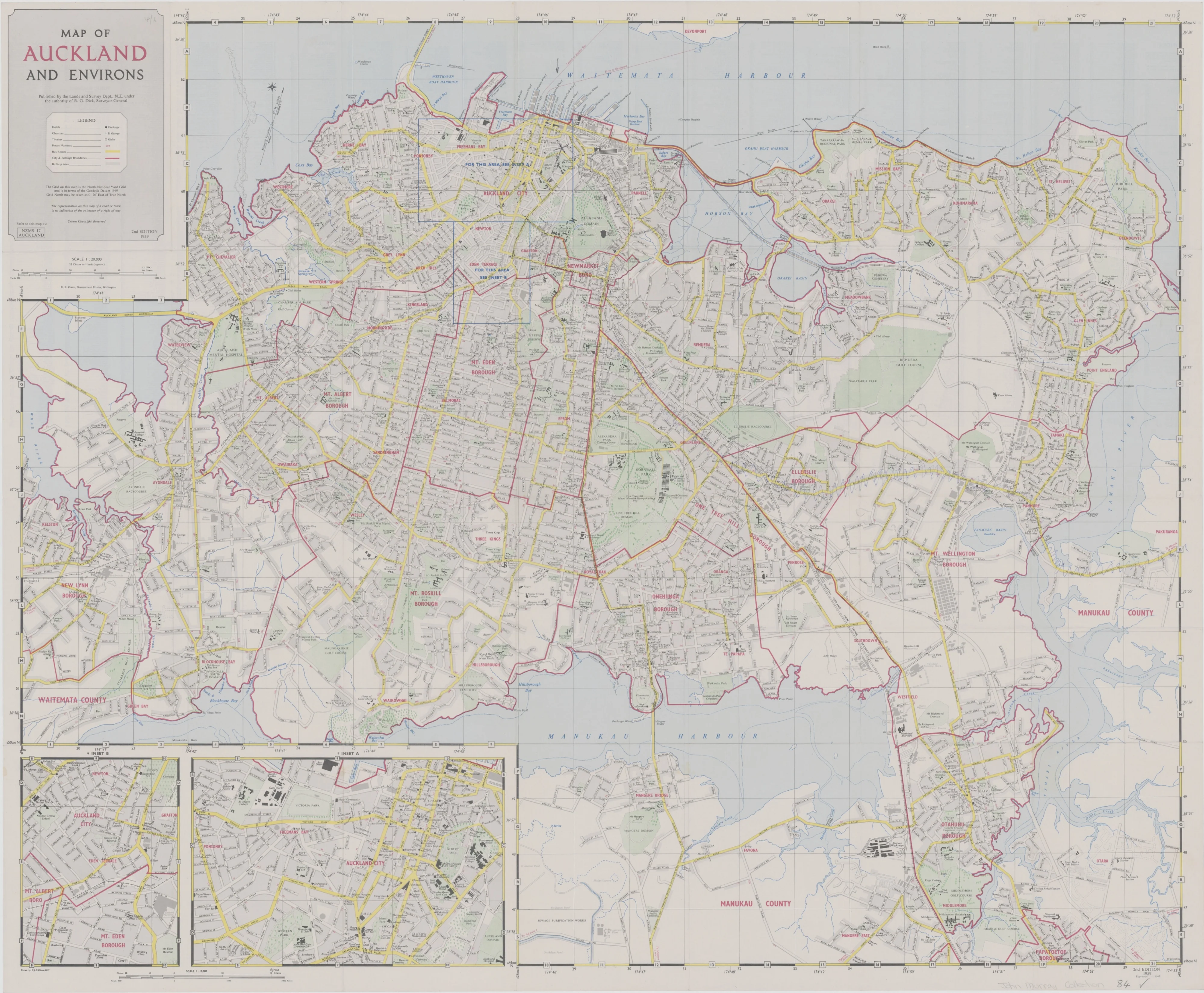
Description
Vintage New Zealand Cartography | Heritage Reproduction | Premium Finishes
Step back into mid-20th century Auckland with this faithfully reproduced 1959 Department of Lands and Survey map — a remarkable snapshot of the city and its surroundings at a pivotal time in its growth. Rich in cartographic detail, this map captures the geography, infrastructure, and urban layout of Auckland as it was over 60 years ago, making it both a historical document and a striking piece of wall art.
📜 Historical Highlights
-
Authentic 1959 Cartography – Shows the city’s road network, suburbs, harbours, and surrounding landscape as recorded by the New Zealand Department of Lands and Survey.
-
Mid-Century Style – Original typography, colour palette, and design aesthetics preserved in high-quality reproduction.
-
Cultural Significance – Offers a fascinating insight into Auckland’s development before the rapid expansion of the late 20th century.
📐 Specifications
| Feature | Detail |
|---|---|
| Title | Auckland Historic Wall Map – 1959 |
| Original Publisher | New Zealand Department of Lands and Survey |
| Year Published | 1959 |
| Reproduction Size | 960 mm (W) x 780 mm (H) |
| Materials | 160 gsm matte-coated paper / 80-micron gloss laminate / 395 gsm HP Professional Matte Canvas |
| Origin | Printed and finished in Australia |
✨ Available Finishes
| Format | Description |
|---|---|
| 🖨️ Paper (160 gsm) | Heavyweight matte-coated paper — perfect for framing under glass. |
| 🧼 Laminated (Encapsulated) | Fully sealed between two sheets of 80-micron gloss laminate — water-resistant, tear-resistant, and ideal for frequent handling. |
| 🪵 Laminated with Wooden Hang Rails | Laminated map mounted with lacquered timber rails (top & bottom) and a hanging cord — ready to display. |
| 🖼️ Canvas (395 gsm) | Printed on HP Professional Matte Canvas with archival pigment-based inks — richly textured and fade-resistant. |
| 🪵 Canvas with Wooden Hang Rails | Canvas mounted with natural lacquered timber rails and hanging cord for a heritage-inspired finish. |
🔨 Please allow up to 10 working days for delivery of hang-railed maps, as they are professionally mounted by our framer.
💡 Why You’ll Love This Map
✔️ Authentic reproduction of a mid-century Auckland map
✔️ Decorative yet historically informative
✔️ Available in archival paper, durable laminate, or premium canvas
✔️ Makes a perfect conversation piece for homes, offices, and libraries
✔️ A thoughtful gift for Auckland history enthusiasts and collectors
🎯 Perfect For
-
Local Historians & Collectors – See Auckland as it was in 1959
-
Interior Styling – Bring a vintage New Zealand aesthetic to your walls
-
Educational Settings – Ideal for classrooms, museums, and libraries
-
Gifting – A unique heritage present for anyone connected to Auckland
The Auckland Historic Wall Map – 1959 is more than a map — it’s a window into the past, a statement piece of decor, and a celebration of New Zealand’s cartographic heritage.
👉 Select your size and finish above to make this piece of history your own.